This PR adds state name to national borders (`admin_level=2`)
From zoom level 3 there is an added `adm0_l` and `adm0_r` attribute for national borders.
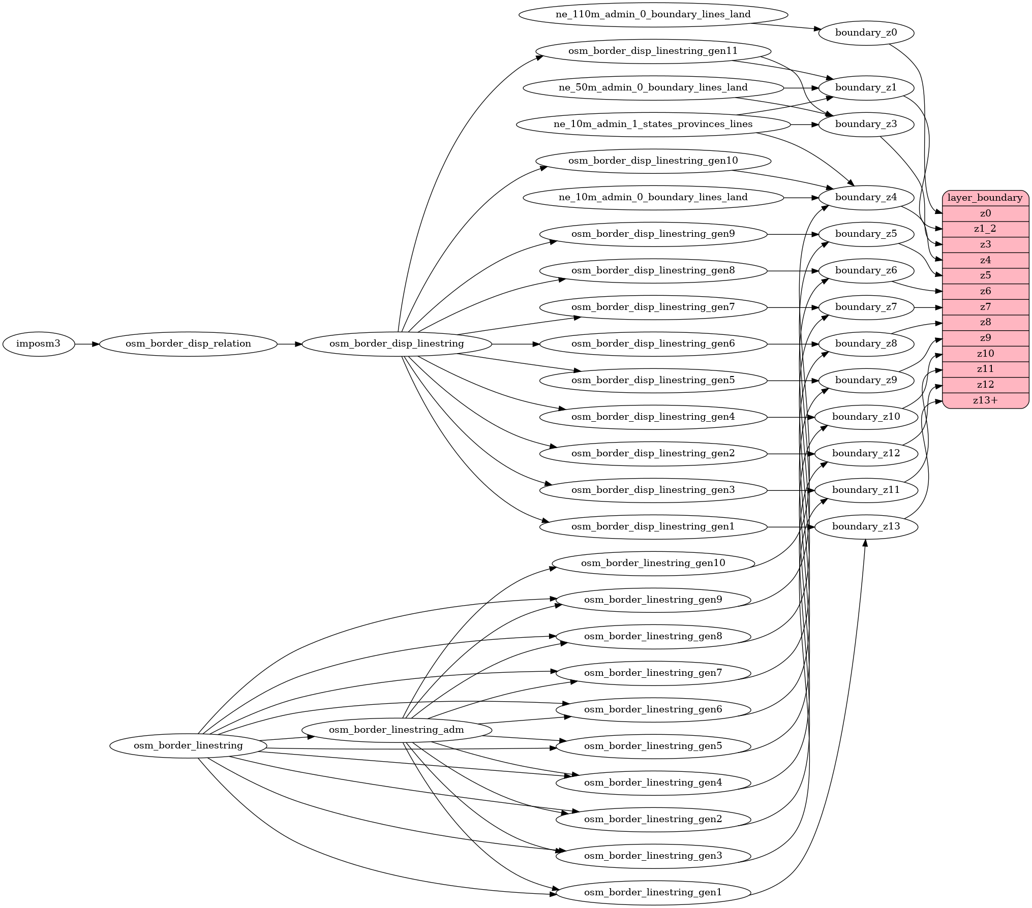
There is 3 main steps:
1) union border lines from OSM and keep separate LineString between intersects
2) create polygons from step 1), create a point in each state polygon, add to this point a state abbreviation from NaturalEarth Data
3) create a short parallel line on the left and right of a small part of the border in 70m distance, and add information about which state overlap this short line.