* Change NE 50m by NE 10m state provinces dataset
* update documentation
Fixes#977
This PR implements the change discussed at #977 to replace Natural Earth 10m states and provinces by the 50m version, since the 10m only covers state borders for US, Canada, Brazil, and Australia.
A few remarks:
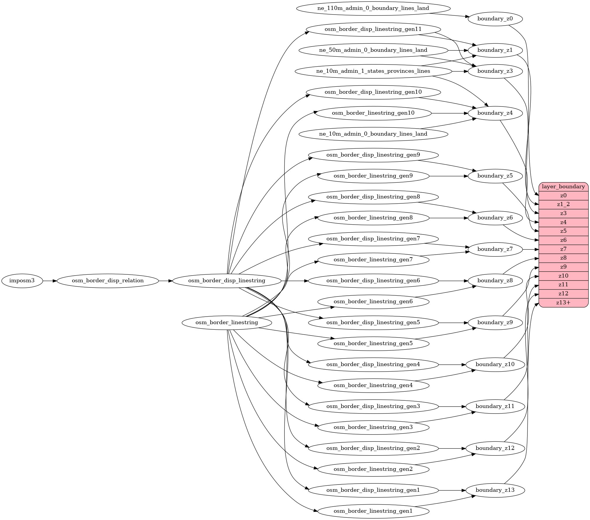
* This change only affects zooms 1 to 4, not making any change in borders based in the `OSM Borders` source.
* The `min_zoom<=7` shows the first level regions (level 4 in OSM) as you can check for example for France, Italy, or Spain.
* I don't think it's necessary to simplify the geometries, it would mean adding a new materialized view, or a slower tile generation process.
* This change does not need any change in the styles, even someone could argue it could be interesting to add the country code in this layer as a new field, allowing style editors to filter features by country, but I would prefer to leave that change for another PR.